|
Catskills Hill Fest, Woodstock,
New York Ride Stats: ·
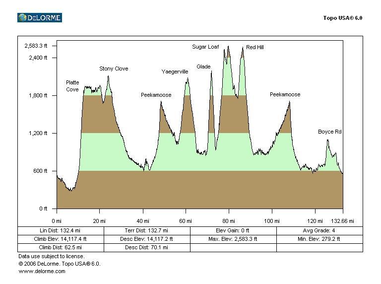
132.6 mile route, 7 significant climbs plus two moderate climbs
totaling 14,100 feet of climbing (per TopoUSA) ·
7:42 fastest riding time, about 9 hrs total time ·
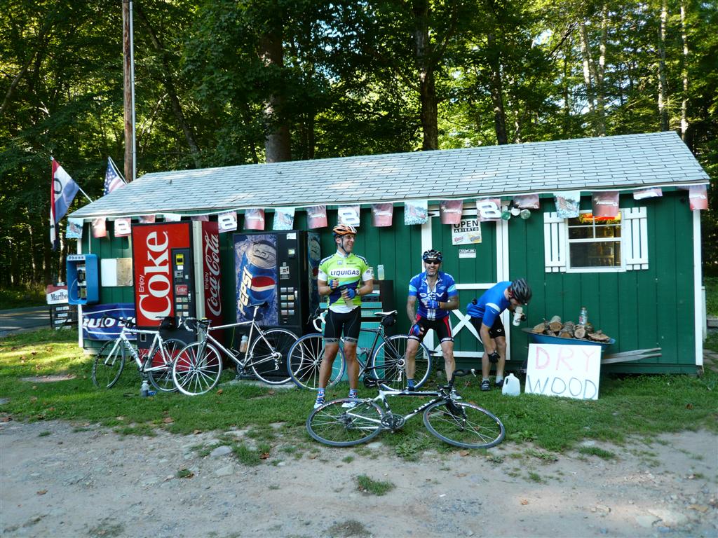
Four riders, all doing the Everest Challenge 2-day stage race at end
of month ·
Ideal weather, temp around 60F starting out, 70’s mid-day ·
No flats, mechanicals, or mishaps This
ride was completed on September 1, 2007.
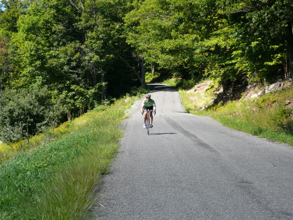
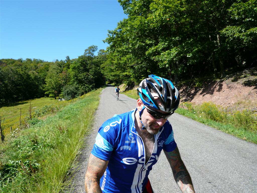
There were four riders in our group, Bill, Dave, Brett, and
myself. The ride did not go exactly to
plan, but it entailed nearly all of the planned climbing. The Catskill Mountains are not technically
mountains (they are a dissected plateau), but they sure look like other
mountains in the northeast like the Green Mountains of Vermont or White
Mountains of New Hampshire. We had
planned to ride about 135 miles with over 15,000ft of climbing this day. We had no idea where food stops would be,
what the auto traffic would be like, road surface quality, etc. Be I did get many pointers from a local
rider Mendel who was not able to join us for the ride. This proved valuable on which ways to loop
some of the climbs. With Topo, I knew the profile of each climb, but not all the
other things needed to make a ride safe, successful, and enjoyable. Each of
the significant climbs on this ride is briefly discussed below. The elevation numbers given are min to max,
from low point since last climb to
Ride Profile We
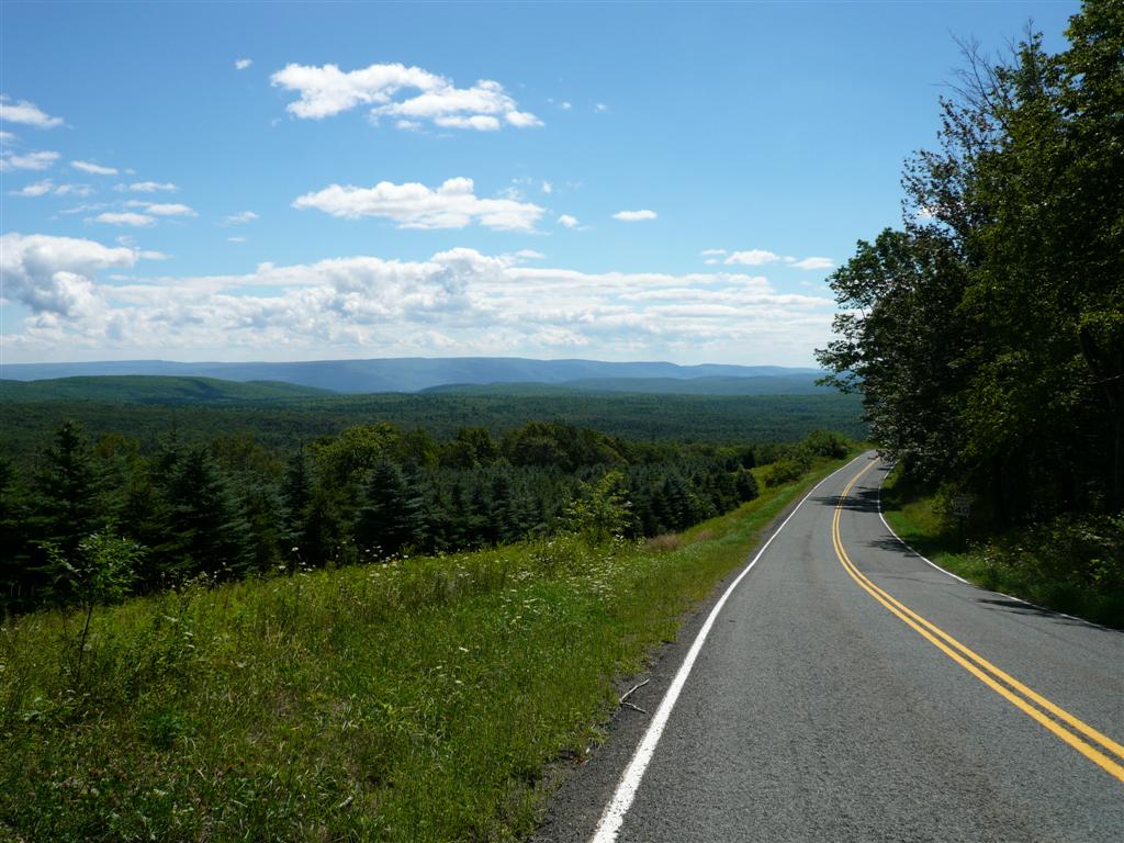
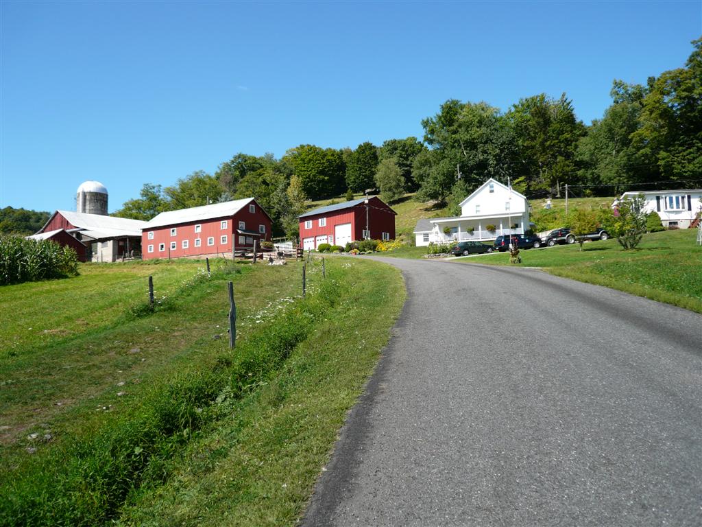
rolled out of Stony Clove Notch (441ft) Not
much of a climb, but it does get a little steep just before the end. This is really the
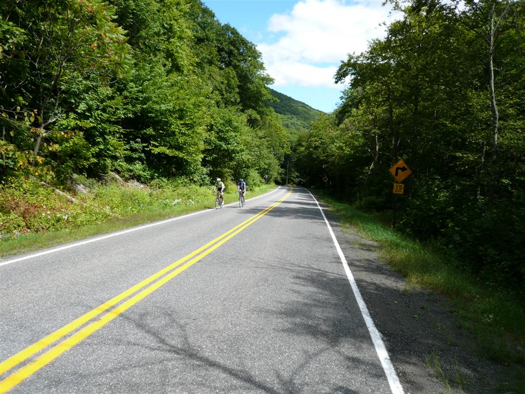
Heading up to Stony
Clove Notch. Climbing starts just
around bend to left.
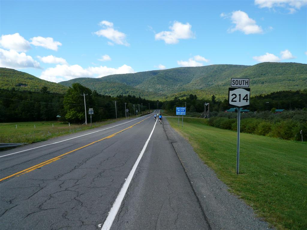
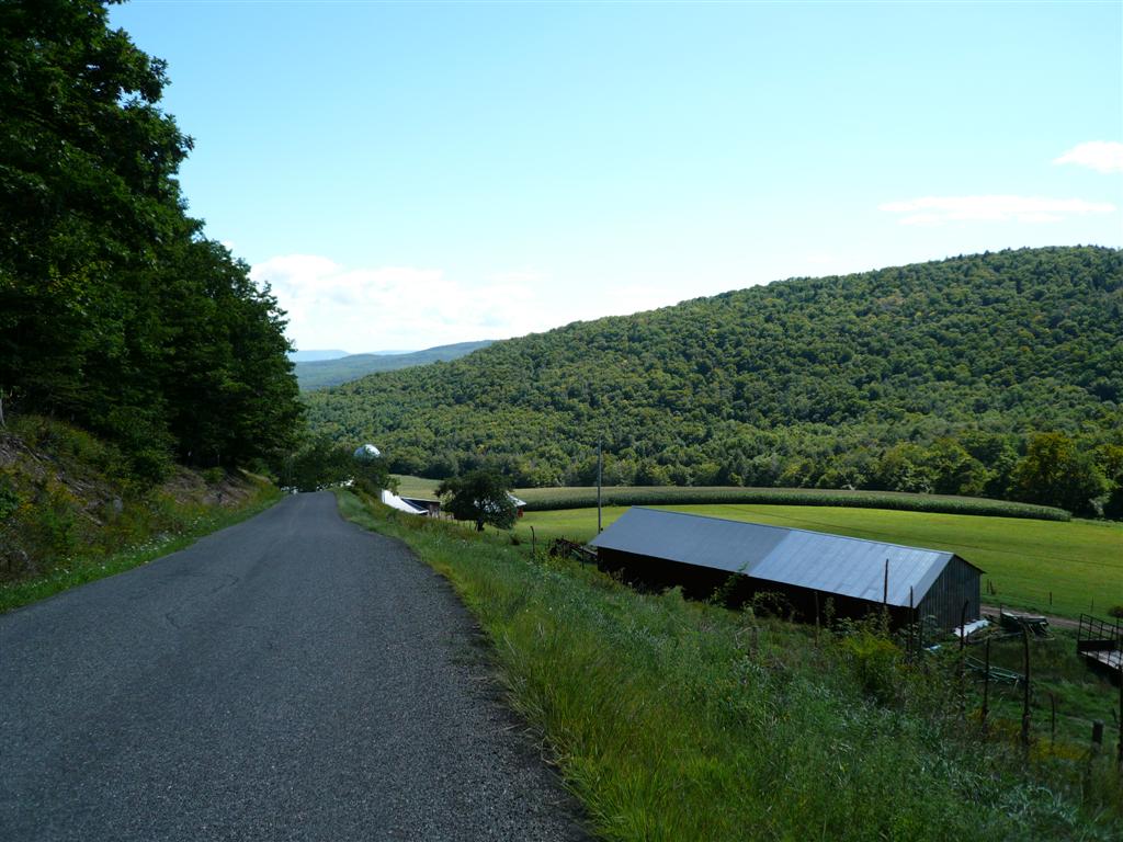
Peekamoose (from Olive, 1112ft) The Peekamoose pass has a profile a lot like Smugglers Notch
in
Brett and Bill
finishing up Peekamoose climb from Rt 28a. Yaegerville (from Sundown to Yaegerville,
1064ft) We hit
the community of Sundown in no time, way too fast it seemed. This meant we were into our next steep
climb before we knew it. Yaegerville from Sundown
may average only 5%, but there is about a half mile section at 9%. In correspondence with local rider Mendel,
he said to be sure to ride it in this direction. Now we know why. Many of the roads in this area have
chip-and-seal cover on them. This is stop-gap,
cheap means to seal an asphalt road that is crumbling apart. It makes a miserable surface to ride
on. At best, a lot of vibration comes
through. Worst case, the chip (finely
crushed stone) is still loose on the road.
We had mix of loose stones and old, badly rutted out chip-and-seal
surface on the way up. Didn’t bother
me too much climbing, but had we come down this way, it would have been a
miserable experience. There is a nice
switchback going up where you can look straight down on road below. Just
after cresting the After
descending Yaegerville to the Rondout
Reservoir (NYC water supply), we took a right and followed the reservoir to Grahamsville. We
ran into our first problem of the ride.
There was nothing there. No
food, no water, and we were depleted.
This was about the half way point of the ride. The planned route had us taking a right on Rt 153 to pick up the Sugar Loaf climb next, but there
was no way we were going into that having already been out of water. We had no choice but to ride three miles
into Grahamsville and hope there was something
there. There was. It was a nice deli/mini food mart. I was so hungry I got a hefty turkey and swiss sandwich, a large cinnamon roll, and a Godiva dark chocolate milk drink. We planned to recover from this deviation
of route by going up gentle
View from top of Yaegerville. This
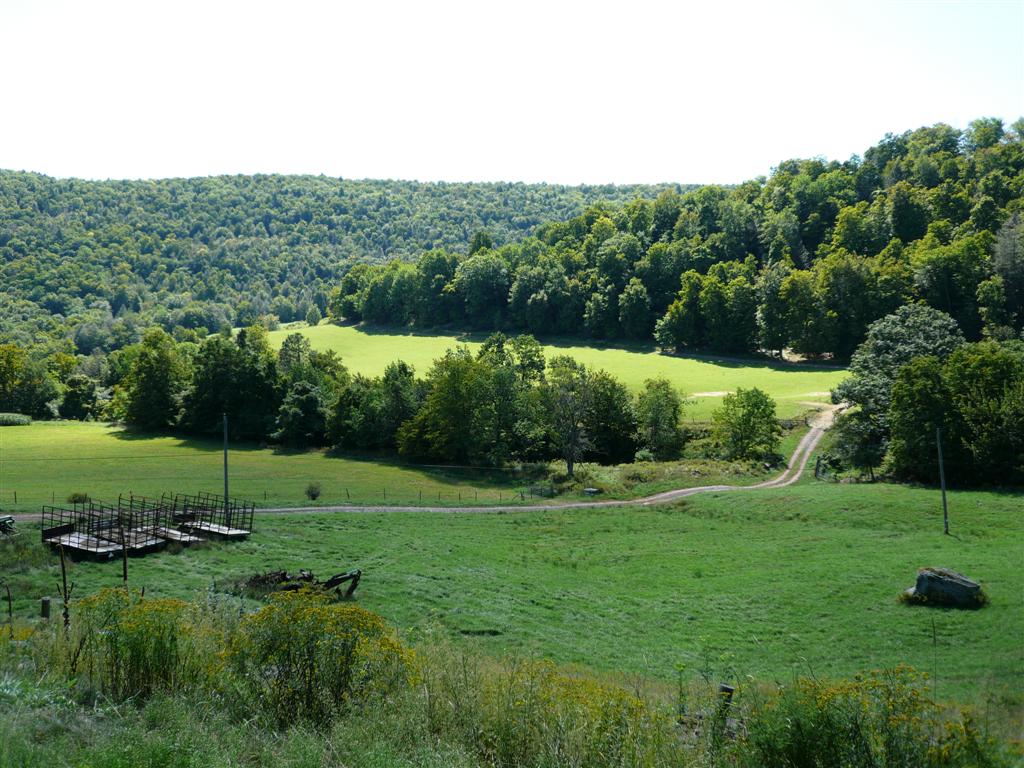
descent was among the best of the ride. Glade Hill (1336 ft) We made
it to the base of Glade Hill with no time for large food intake to
settle. Glade starts off with a bang,
never lets up, and throws many punches at you along the way. Scenery is very nice, but in an anaerobic
induced haze, you can’t fully appreciate it until you come back down. Dave totally dominated this climb, possibly
because he didn’t engorge himself in Grahamsville. But that sandwich and monster roll I had
would serve me well later in the ride.
Glade averages about 13% for 1.8 miles, gaining over 1200ft in that
distance. There are sections that must
be 20% grade, where you have trouble keeping front wheel on ground. Larry commented that he rides a 39x23 up
this at 50rpm. No wonder he is so
strong. I was in my 34x32 and kept
trying to shift to an easier gear that wasn’t there. The
descent was pretty scary with sharp switchbacks much of the way down. I stopped a couple times to snap photos and
let rims cool. They got very hot. Larry said he usually takes
Dave half way down
Glade descent. Lots of swoopy, open, but very high speed curves here.
Brett coming down
upper portion of Glade.
Bill with Dave in
background coming down Glade. Had to
check rims here. Heavy braking was
required much of the way down.
Looking up at farm
about 1/3 way up from bottom. Look
steep? Pictures can’t really depict
it, but it was uber steep.
Farms from part way
down Glade.
Another view of
farmland from Glade. After
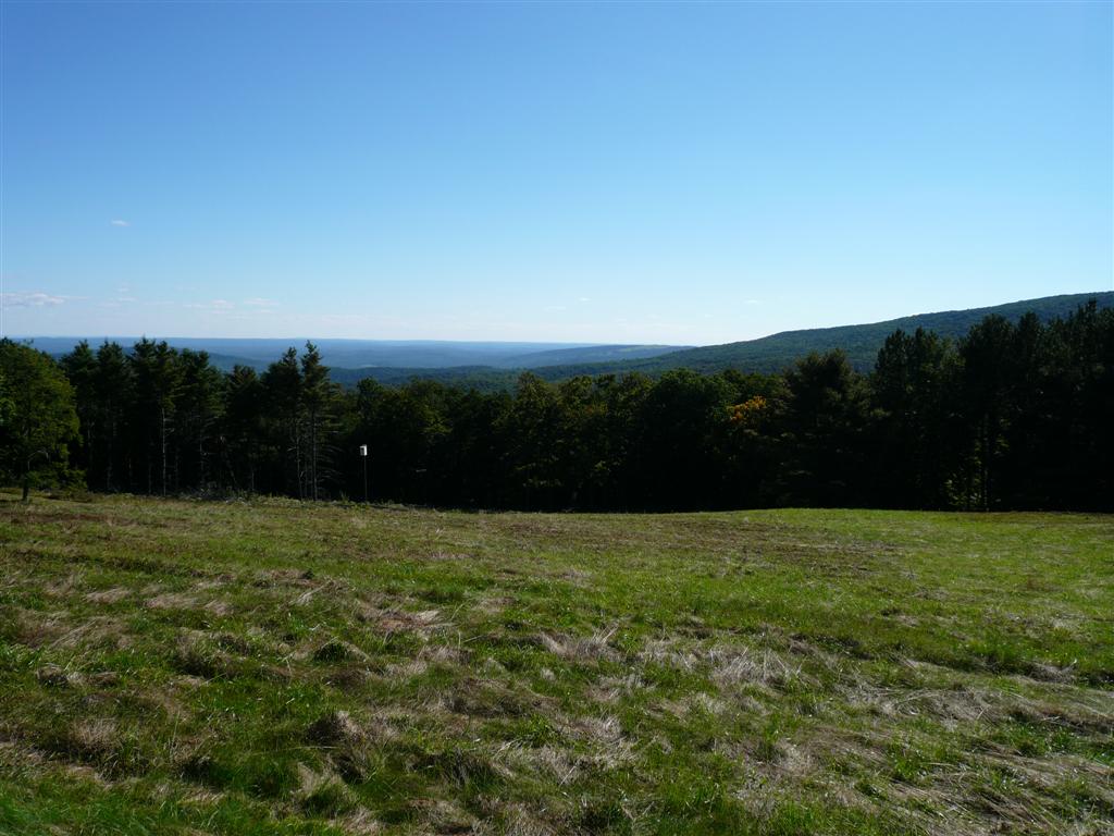
descending Glade, we take the other fork and go right into the Sugar Loaf
Climb. At least it started out
gradually. But this climb would entail
just as much vertical as Platte Cove and was occurring much later in the ride
when we were becoming very tired. The average grade is not that serious, but
the climb entails about 3 miles of 9%, including 0.3 miles of 13% near the
end. Our route made a lollipop loop
out of this climb. After cresting the By this
point, we were all running out of water again. I was still ok, but I started with a full
100oz Camelbak.
I think on epic rides like this, everybody should carry Camelbaks. Two
small water bottles might be good for one hour on a warm afternoon. We did not plan on returning to Grahamsville again, a 6 mile out and back. Our plan was to catch somebody in their
yard and ask if we could have some water. Red Hill (824 ft) The
descent down Red Hill and Sugar Loaf roads is pretty much wide open, no
brakes. Road surface is pretty
good. We were hoping we’d find water somewhere,
as we did not see anything along the remote Rt 42
climb back over Peekamoose. We popped out at Rt
153, then veered left onto Rt
42 to begin the gentle climb over Peekamoose. But we picked up a local rider on the
way. He was just starting out. I thought surely he would know where we
could get some water. He was quite
sure there was water at a campground in Sundown area. But before we even got there, we went buy
this little shed, and he said “There, you can get your water at the
store!” We thought yeah, right. It looked like a little woodshed somebody
would store the lawnmower and firewood in behind their house. But sign on side said open. Strangely, there were no doors or windows
on side that faced road. Only on side
away from the road. But the place was
indeed open and had exactly what we needed: gallon jugs of water, quarts of
Gatorade, and munchies. We were now
good to go for the rest of the ride.
From near high point
on Red Hill. About 1600ft descent from
here, I think fully monotonic (no uphills along the
way).
Food shed in
Sundown. I think Bill was telling his
wicker chair and cardboard box story.
You don’t want to know. Peekamoose (from Sundown, 846 ft) We got
to go over Peekamoose from both sides. From Sundown, it is a rather anti-climatic
climb. It so gradual, you can maintain
paceline work most of the time. You reach the top without realizing that
you gained significant vertical.
Cresting the summit though, we got to go down the initial very steep
part we climbed several hours earlier.
This descent runs out for ever.
I coasted the whole way, waiting for the others to catch back up. We went
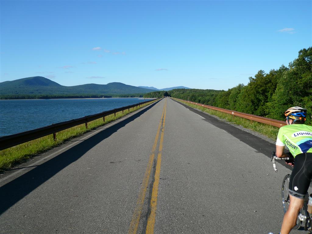
right on Rt 28a.
This follows the Ashokan Reservoir, but high
above it and out of sight. It wasn’t
until we dipped down near the dam that we started to see water through the
trees. We were riding away from the
sun, and our shadows were getting very long on the road in front of us. Plus, both Bill and Brett were having
cramping issues by this point. This
not only ruled out finishing the last planned climb of the ride, Meads from
Woodstock, but it also meant we were going to come close to running out of
daylight just to get back to cars. My
original route had us taking Rt 28a all the way to
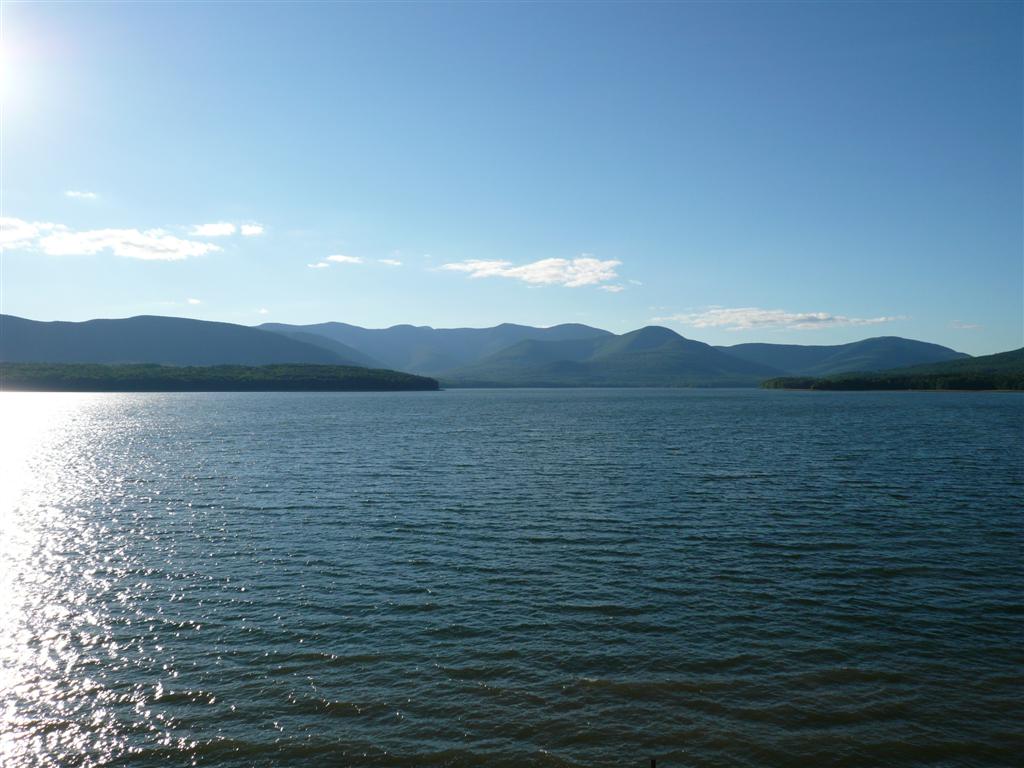
the bridge, but as we passed the dam, we saw it was open to bicycles and
pedestrians. I had read that for a
while after 9/11, it was closed to the public. This reservoir probably serves 10’s of millions
of people. So we made abrupt turn and
got to enjoy some of the most expansive scenery of the ride with the sun
getting low over the water and On the
dam, we asked a local rider for the best way to
The dam we rode our
bikes across to get back to
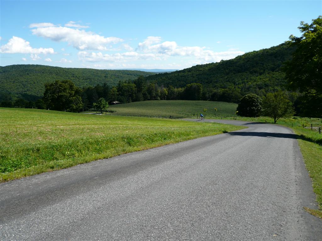
The Ashokan Reservoir with The Ride Wrap-up By the
time we got to The
ride was highly successful. No
injuries, mechanicals, flats, etc. We
all got excellent training value out of it for the Everest Challenge race in
three weeks. Plus we all got to ride
an area we hadn’t seen before. Lots of
spectacular scenery. Most of the roads
had light traffic, something I was concerned about planning this ride in a
vacation area on a holiday weekend. I
will probably ride in the Catskills again.
But I think rides here will work best by dividing it up into separate
north and south loops, kind of like doing a Compiled
by Doug Jansen 3-September-2007 |